
 |
| Novat's Paradiski panorama - "sharpens the skier's appetite" |
The local Savoie paper, Le Dauphiné, carried and interesting article yesterday about the man who invented the piste map, Pierre Novat. Before that they were really just one dimensional diagrams rather than the elaborate 'virtual reality' effect that Novat used to bring the mountains alive on paper.
 |
| Pierre Novat: truth through deception |
He looked hard at the topology of the mountains and valleys before tracing the new pistes and lifts, and played freely with perspective to achieve his hallmark two-dimensional effect. And the maps were incredibly detailed "down to the smallest chalet", his daughter Frederique is quoted as saying, "he had no hesitation in deforming a mountain so that you could see behind it. It's all false, but it's also all true".
Novat wanted the skier to be able to visualise a piste in the context of the whole sector, valley or mountain. He was interested in showing the relationship between things rather their actual nature, echoing the structuralist philosophies of Levi-Strauss, Sassure and Jakobsen that were in vogue at the time. Novat had formidable intuition and savoir-faire, and made it possible for anyone to immediately 'read' the resorts' mountains and pistes.
 |
| Frederique Novat at work |
Over the next 35 years Novat created over 250 piste maps, covering most of the France's burgeoning ski areas. When he died in 2007 his work was taken over by his children Arthur and Frederique, now working under the auspices of the 'Atelier Pierre Novat, Panoramistes'. They produce three or four new maps a year, always starting by over-flying the area in a helicopter to get a feel for the topology. Then the first sketches are made using coloured crayons on tracing paper. Then comes a painstaking process of adding details and skewing, stretching and deforming the image to get the notorious 'Novat' style. At every stage the design is checked the the commisioning ski resort, as it would be impossible to undo these radical modifications of reality once formed on paper.
Novat's greatest project was the huge panoramic map showing, in detail, all the resorts in Savoie involved in the 1992 Albertville Winter Olypmics, now a collector's item.
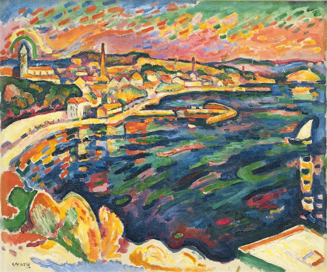 |
| Braque - Le Port de l'Estaque |
Like all great artist Novat shows us that imagination and flair count for more in the eyes of the viewer than accuracy and pedanticsm. Novat interpreted the mountains for us, made them readable, in the same we a great artist like Braque decodes the world we live in through shape, colour and contrast.
There is currently an exhibition on in La Plagne (Salle des Omnisports in Plagne Centre) with over 60 of Novat's canvases on display. If you can't make that, have a look at this diaporama of Novat's work. http://tropfragile.free.fr/galerie/Photos.html#grid
A book has also been published recently with many examples and explanations of Novat's work. Plan des Pistes is published by Glénat Livres. I'm hoping if my wife reads this she'll buy it for my birthday! Please buy it direct from the publishers, not from Amazon.
Best blog I've read this week. I was wondering where I could buy those 3 dimensional, raised topography, framed pictures of the Alps. Any ideas?
ReplyDeleteFascinating stuff - I particularly enjoyed the panaromic slide show of the Alps!
ReplyDelete